Tyree Spatial
Geospatial Data Infrastructure for Energy & Environment
We build sophisticated data pipelines, scoring engines, and intelligence platforms that turn complex geospatial data into actionable decisions.
Tyree Spatial
We build sophisticated data pipelines, scoring engines, and intelligence platforms that turn complex geospatial data into actionable decisions.
What We Do
Cloud-native pipelines that aggregate federal datasets, satellite imagery, and third-party APIs into unified, query-ready databases.
Automated suitability analysis that scores parcels across environmental, infrastructure, and regulatory dimensions in seconds.
AI-powered extraction pipelines that convert unstructured PDFs and reports into clean, structured data ready for analysis.
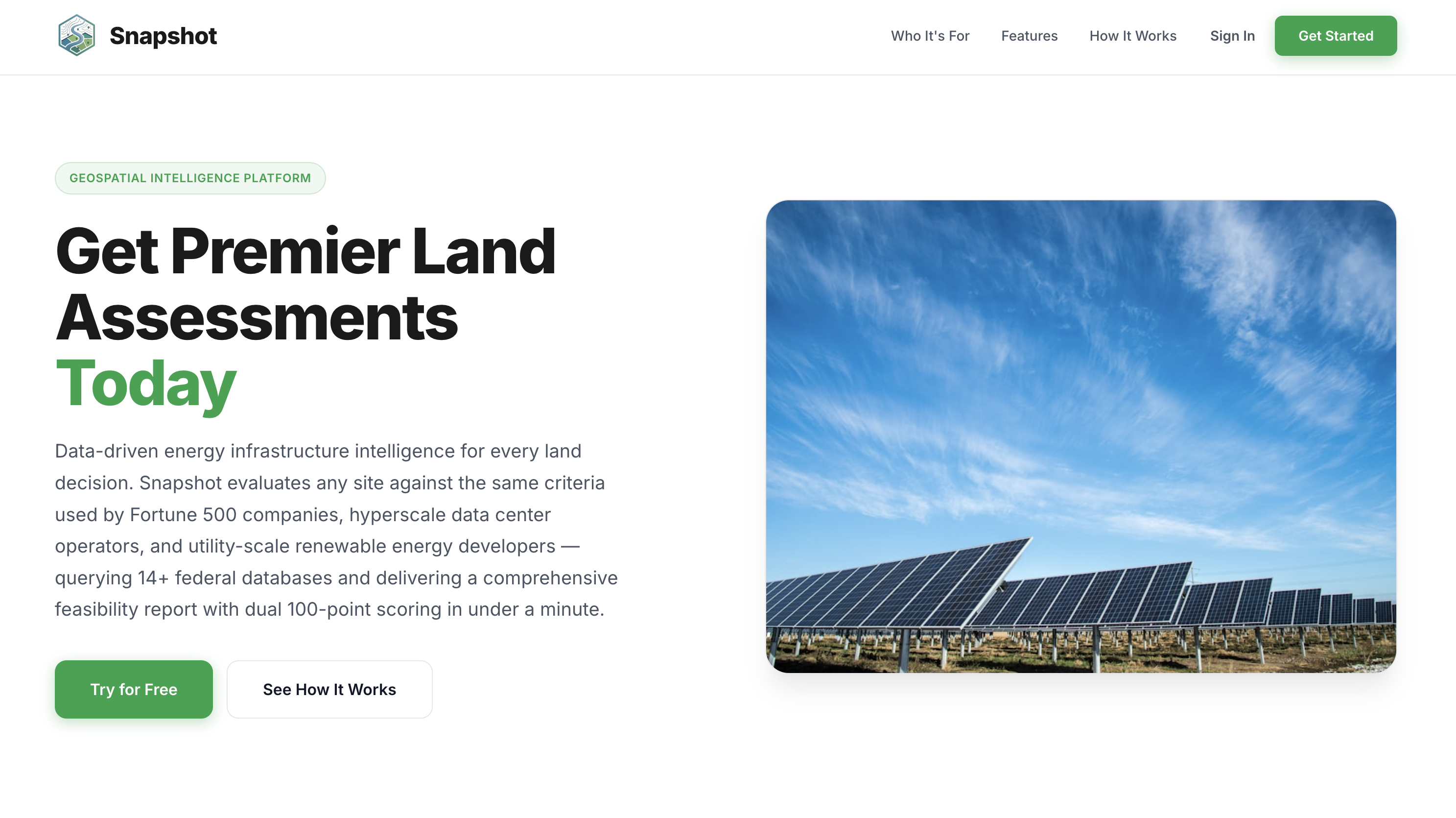
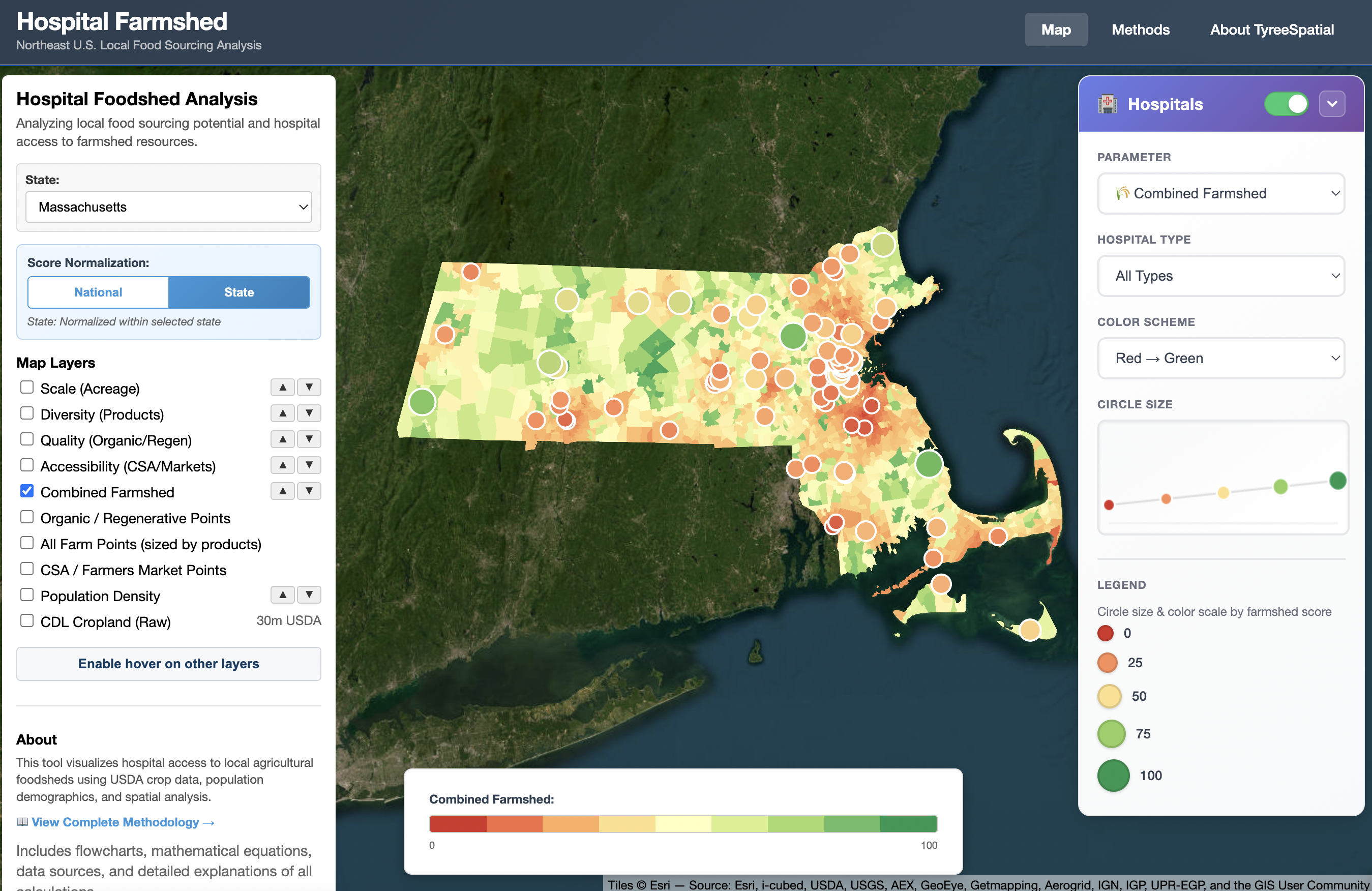
Energy Siting & Due Diligence
Snapshot aggregates 20+ federal geospatial datasets into a single serverless pipeline — scoring any U.S. parcel for environmental risk, grid proximity, and regulatory constraints in under 60 seconds. Built on a SQL-powered cloud database with API proxy architecture and automated PDF/Excel reporting.
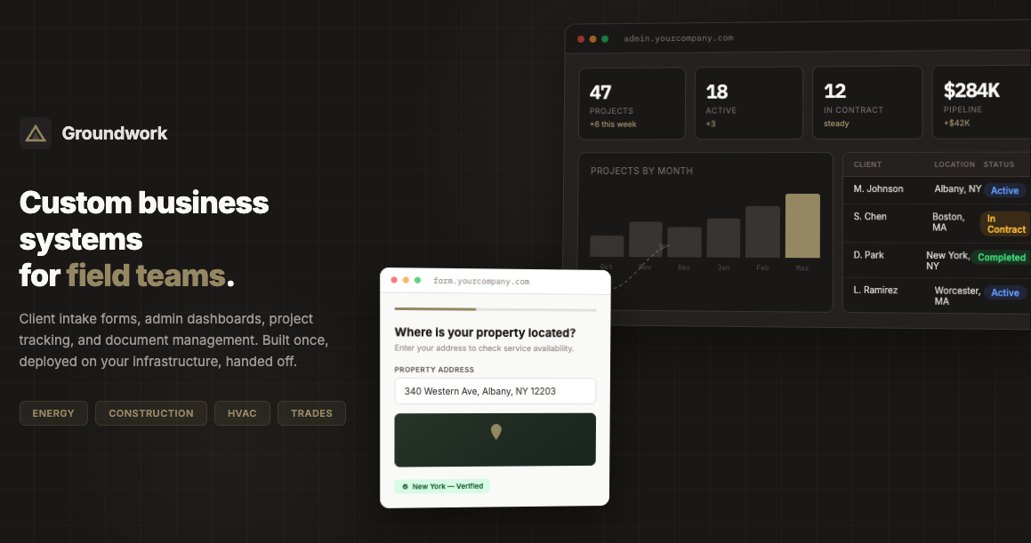
Business Systems for Energy & Trades
Groundwork replaces phone tag, paper forms, and spreadsheet chaos with a branded digital platform deployed on your domain. Multi-step intake forms with e-signatures, real-time dashboards with maps and analytics, and centralized project management for field teams.
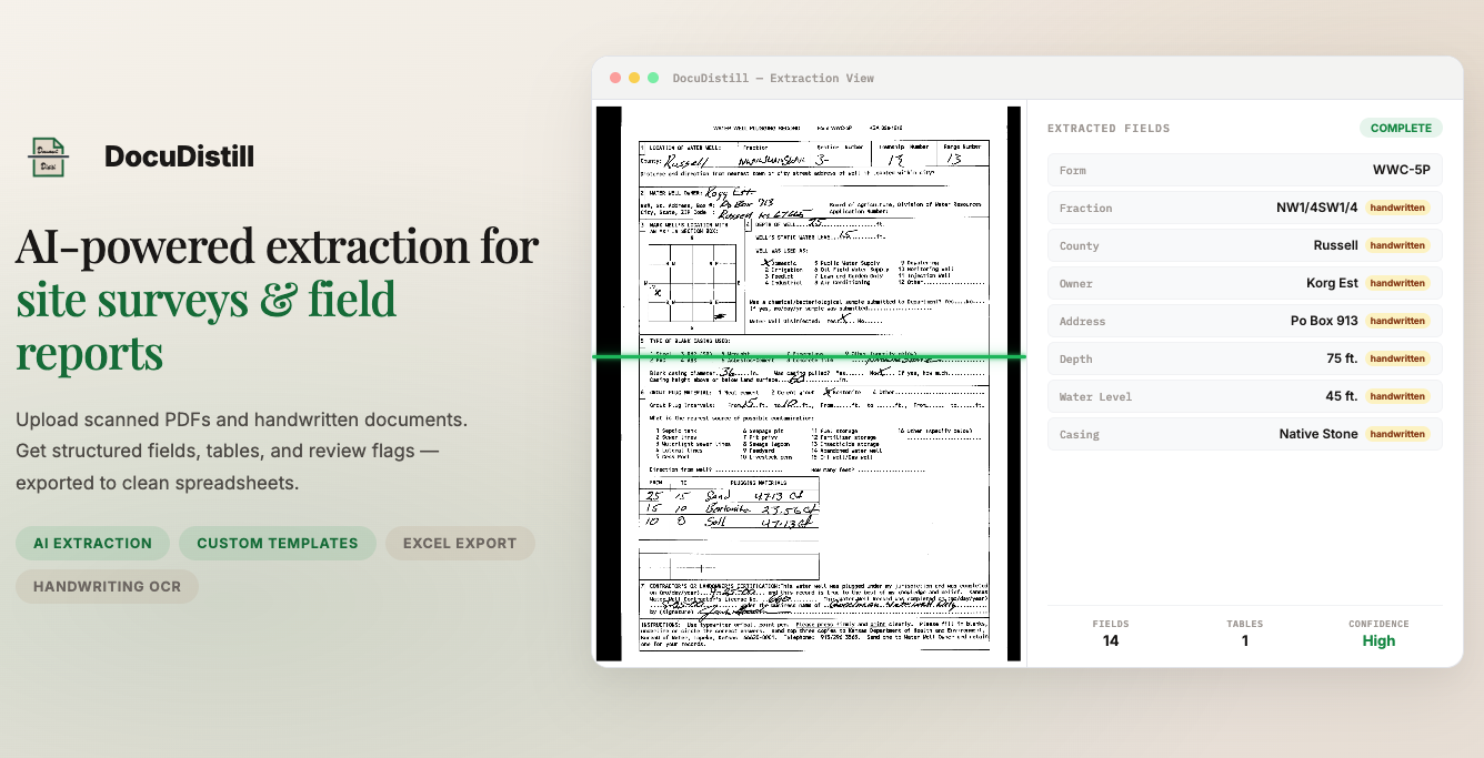
Document Intelligence
DocuDistill uses Claude Vision with reusable extraction templates to process documents at scale. Upload manually, in bulk, or via web scraper — then export normalized data as styled Excel workbooks. Supports forms, narrative reports, tables, and mixed handwritten/printed records.
Other Work
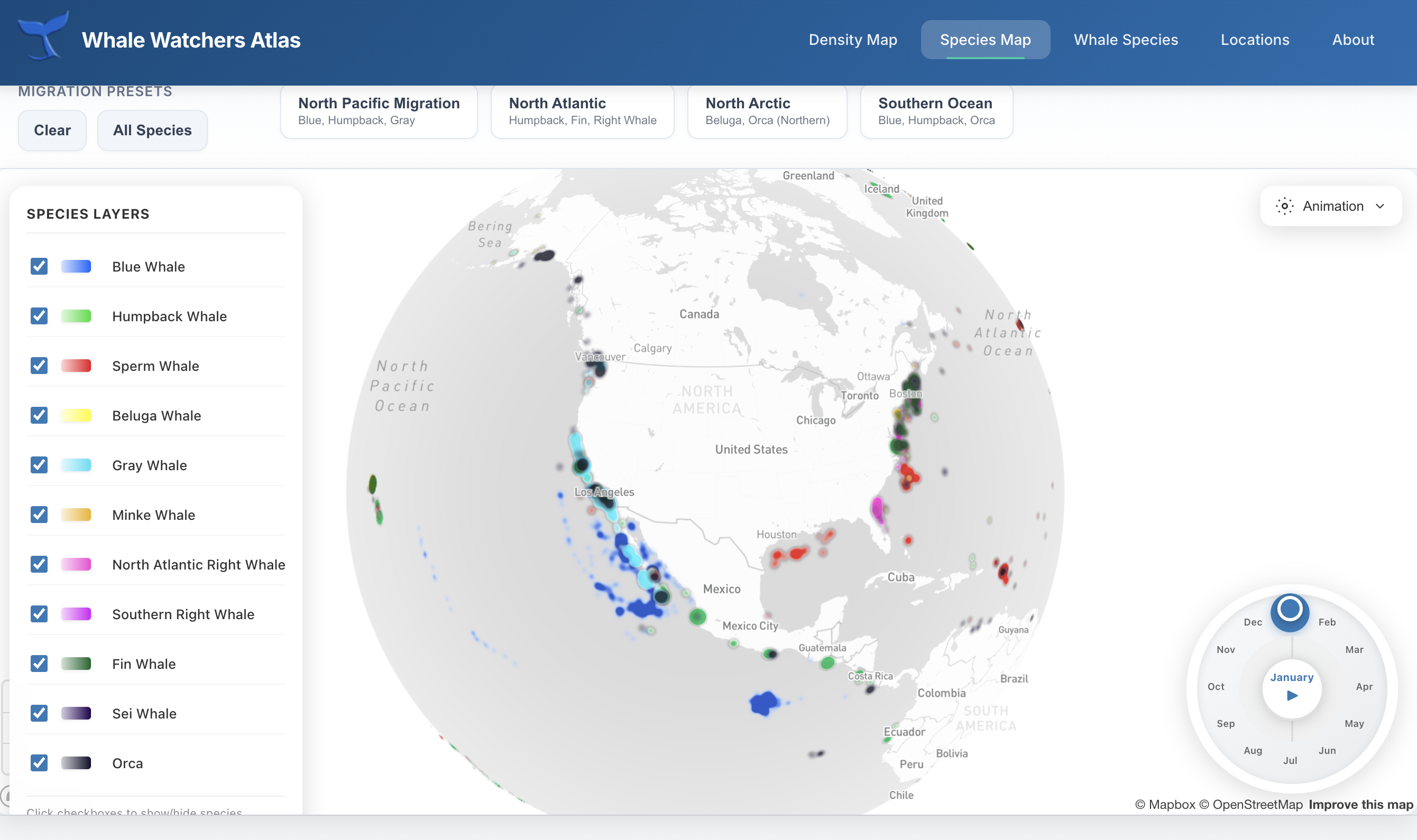
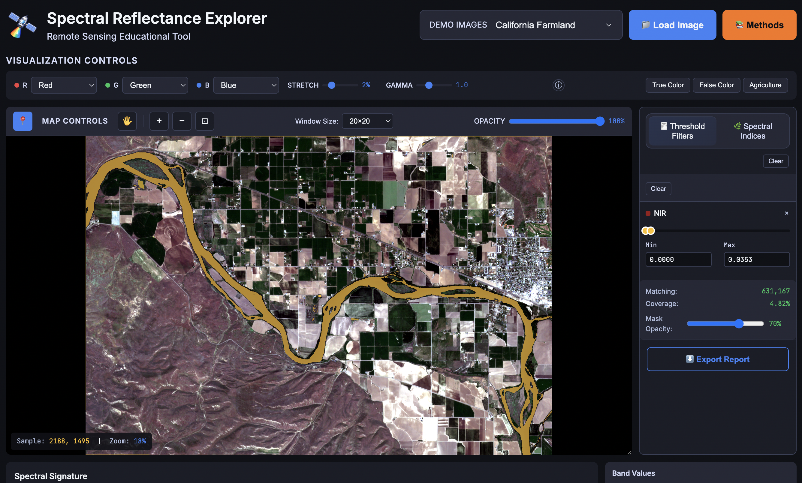
Geospatial tools, data visualizations, and web applications across various domains.
Let's discuss how Tyree Spatial can power your next project.
Start a Conversation